 Nigerian Geodata Centre Catalogue
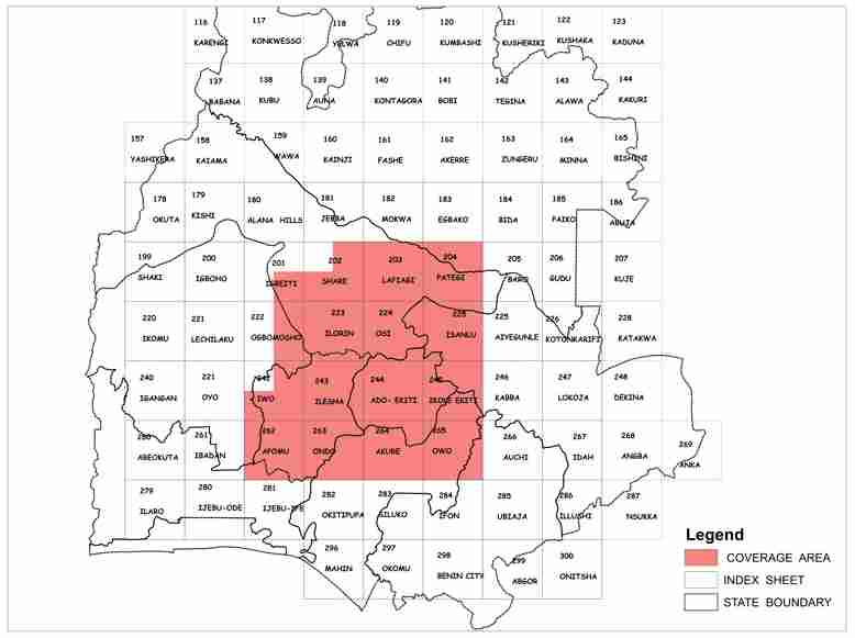
High Resolution Airborne MagRad data of SW Nigeria
High Resolution Magnetic and Radiometry of SW Nigeria , 1:100,000. 150m line separation / 50m ground clearance / 1,500m tie line separation.
Simple
- Date (Publication)
- 2023-07-17
- Presentation form
- Digital map
- Status
- Completed
- Maintenance and update frequency
- Not planned
- Keywords
-
-
Nigeria; magnetic; radiometric
-
- Access constraints
- unrestricted
- Denominator
- 100000
- Language
- English
- Topic category
-
- Geoscientific information
- Description
-
SW Nigeria
- Reference system identifier
- 32632
- Distribution format
-
-
GIS files
()
-
GIS files
()
- OnLine resource
-
High Resolution Airborne MagRad data of SW Nigeria
High Resolution Magnetic and Radiometry of SW Nigeria , 1:100,000. 150m line separation / 50m ground clearance / 1,500m tie line separation.
Overviews
Thumbnail
Spatial extent
Provided by

Associated resources
Not available